
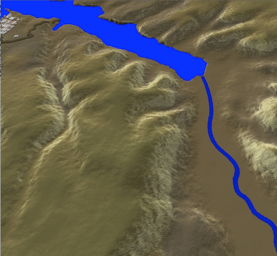
The battlefield of Inkerman — one of Hugh Small's three-dimensional maps of the geography of the Crimean War he created using Daylon Leveller software. Source of image: his website. [Click on image to enlarge it.]
Related Material
- View showing Sebastopol harbour and fortifications, from the north, with the Star Fort in the foreground
- Overhead view of Sebastopol and Todleben’s earth fortifications – the closed redoubt is the Malakoff, the open one is the Redan
- Distant view of the Chersonese peninsula and Sebastopol, looking west. The inlet on left is Balaclava harbor
- Another view of the Chersonese. To the right of the road is the North Valley, where the Charge of the Light Brigade took place
Bibliography
Small, Hugh. The Crimean War. Stroud: Tempus, 2007.


Last modified 15 January 2014